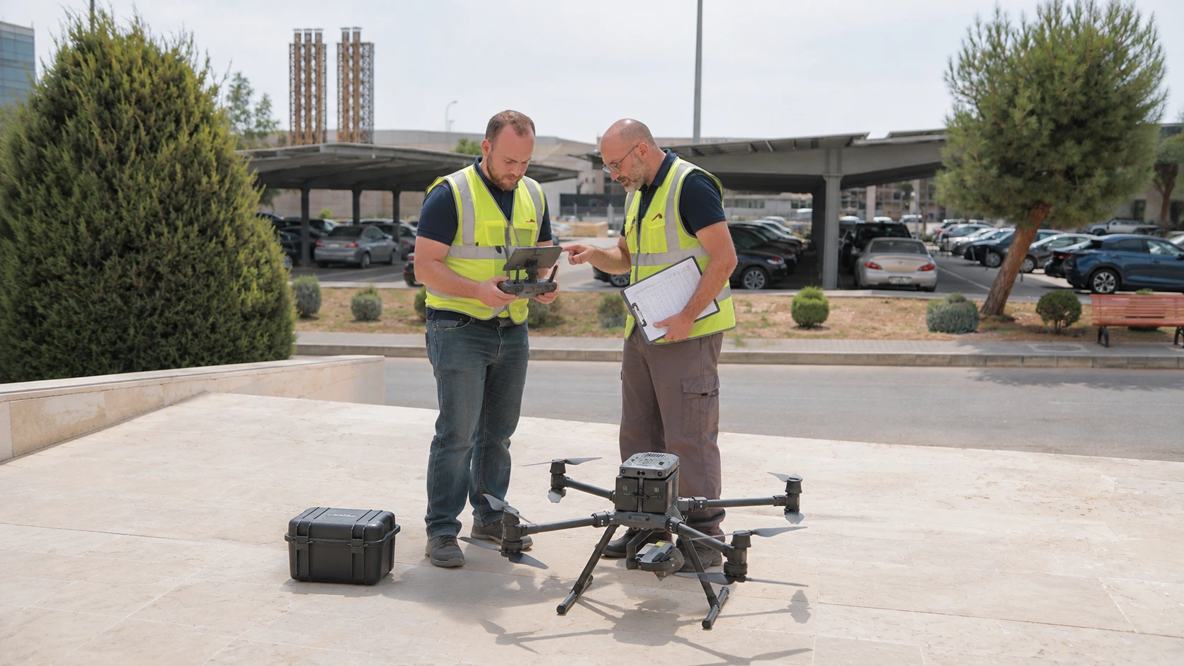
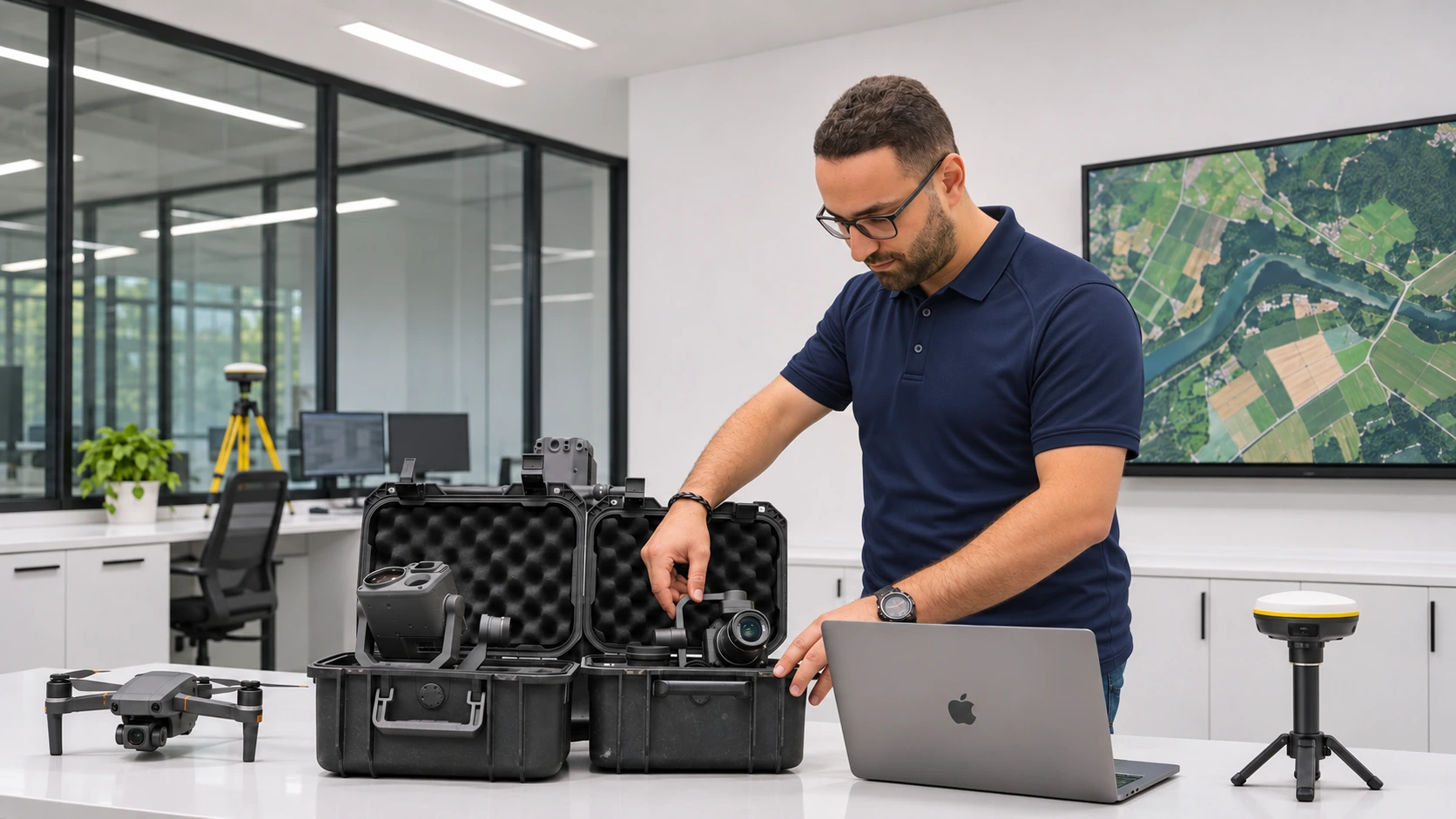
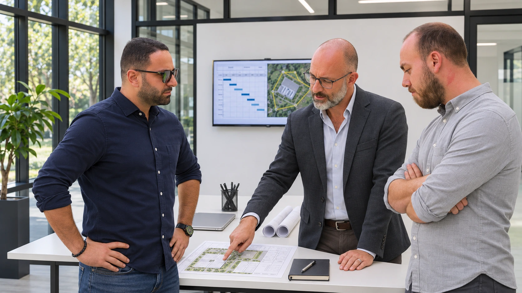
Built around practice
Connect drone operations, geospatial analysis and management skills to real project workflows.

Practical learning in drone operations, specialist applications and program management. Build your capability, one clear step at a time.
Connect drone operations, geospatial analysis and management skills to real project workflows.
Follow a Program or focus on one course. Work through lessons and knowledge checks at your own pace.
Keep track of your learning and earn a completion certificate when you meet the course requirements.
Explore related courses by training family.
Foundation, advanced piloting and aerial imaging courses. Choose the course that matches your experience; entry requirements are listed on each course.
3 courses · View Program →Explore a specialist application, from mapping and inspection to analytics and civilian response. Choose a course for your objective and review its entry requirements.
7 courses · View Program →Develop the operating model, governance, safety and people capability behind an organisational drone programme.
1 course · View Program →Choose a topic. Learn something you can put to work.
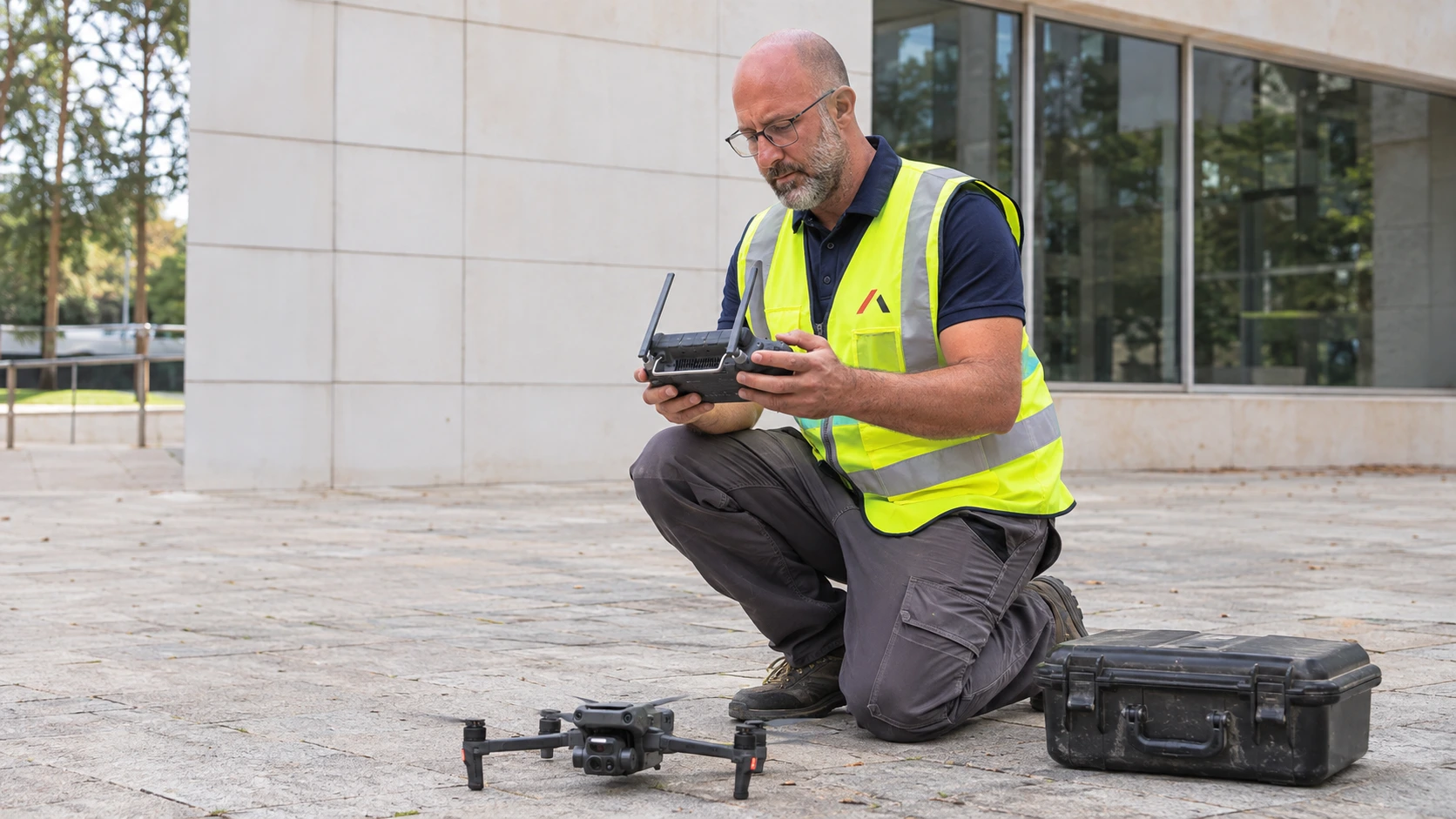
Build the core knowledge of unmanned aviation: airspace, aircraft systems, weather, risk and professional conduct.
View course →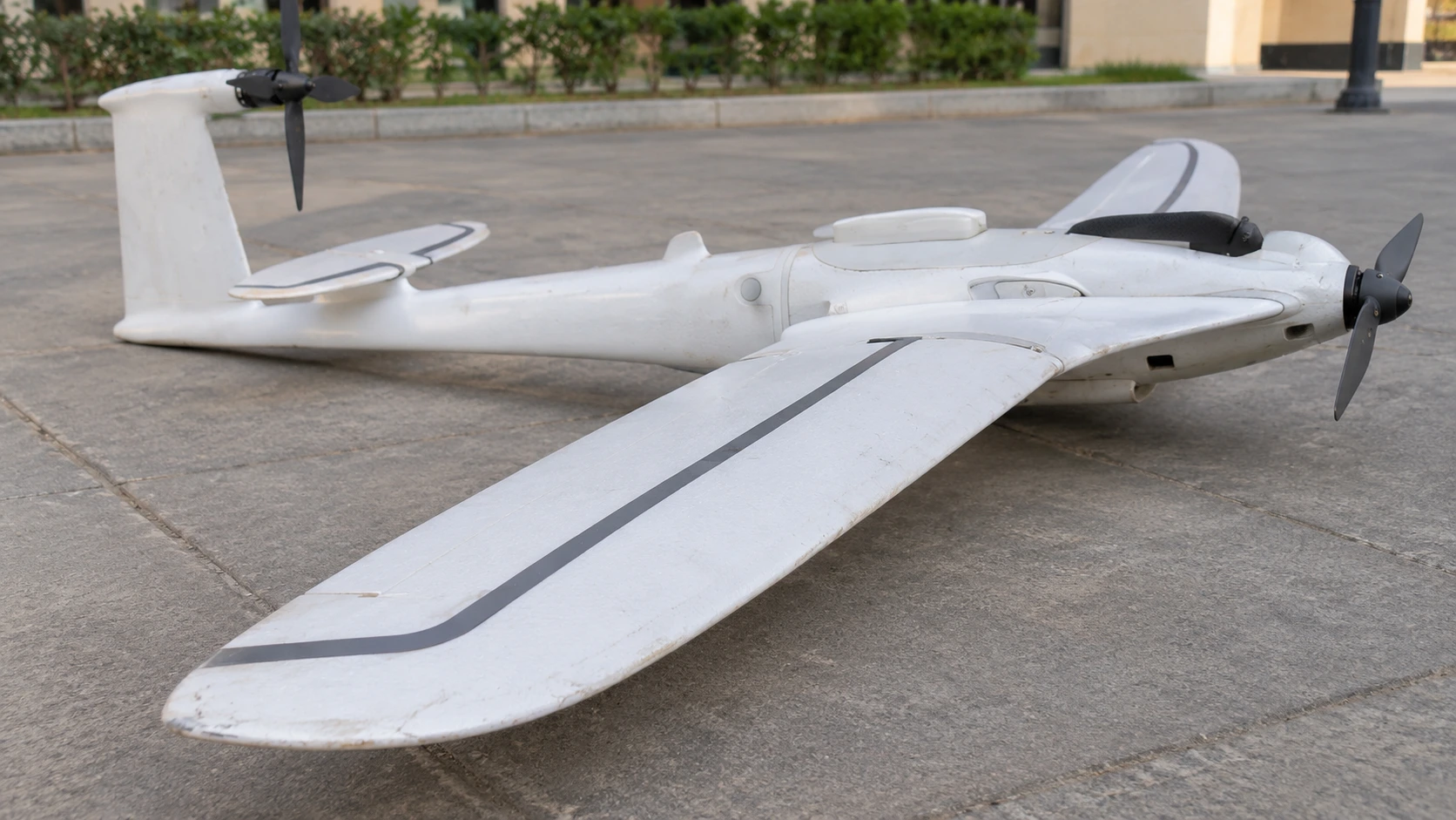
Develop safety-case reasoning, crew coordination and informed judgement for more complex civilian operations.
View course →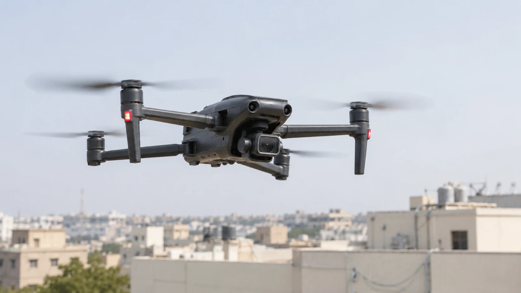
Connect camera craft, visual storytelling and responsible aerial capture with a clear post-production workflow.
View course →
Understand survey references, photogrammetry, LiDAR, capture planning and independent validation of geospatial deliverables.
View course →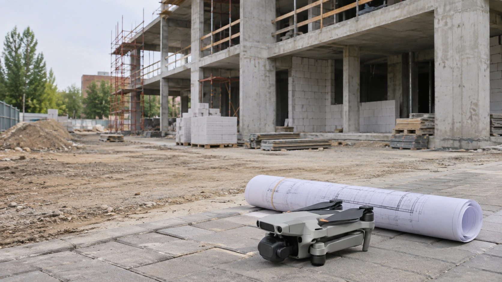
Connect repeat site evidence, quantities, design comparison and governed information handover.
View course →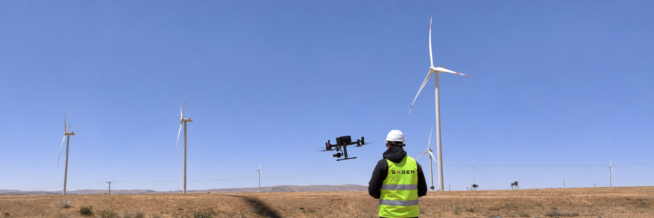
Turn a defined inspection scope into traceable observations, careful defect reporting and useful asset evidence.
View course →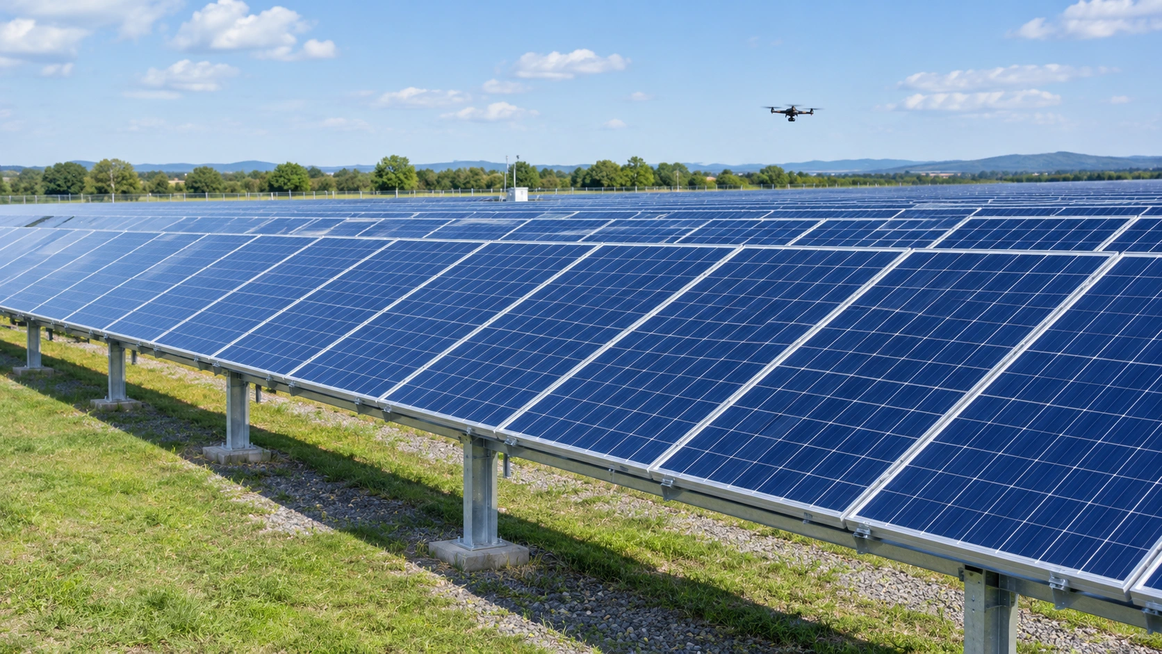
Understand thermal measurement, survey conditions, interpretation limits and defensible reporting.
View course →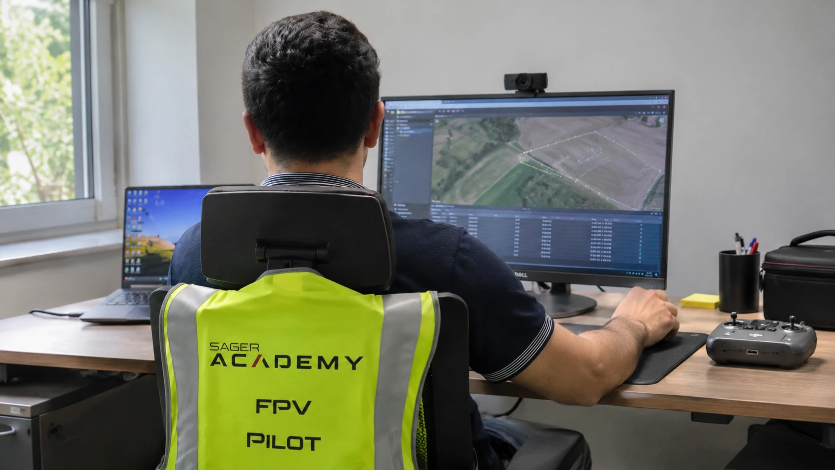
Follow drone data from ingestion and processing through reviewed analytics, decision support and responsible information handling.
View course →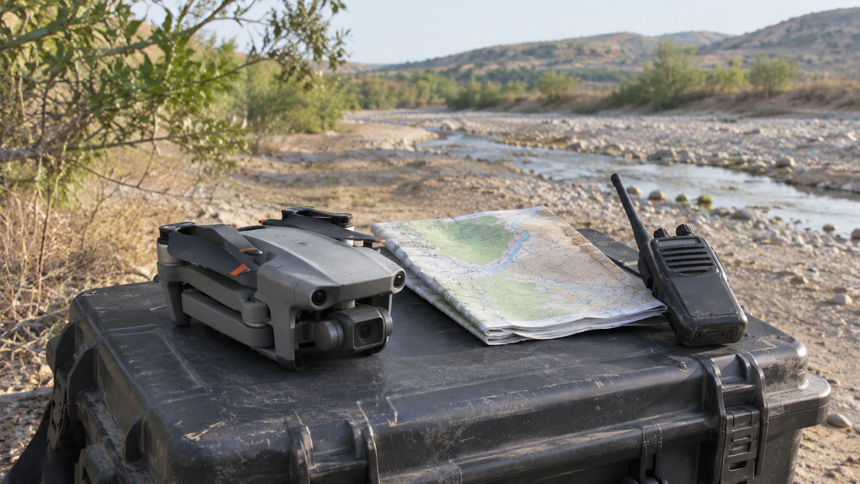
Understand aerial information as a coordinated, accountable contribution to civilian incident response.
View course →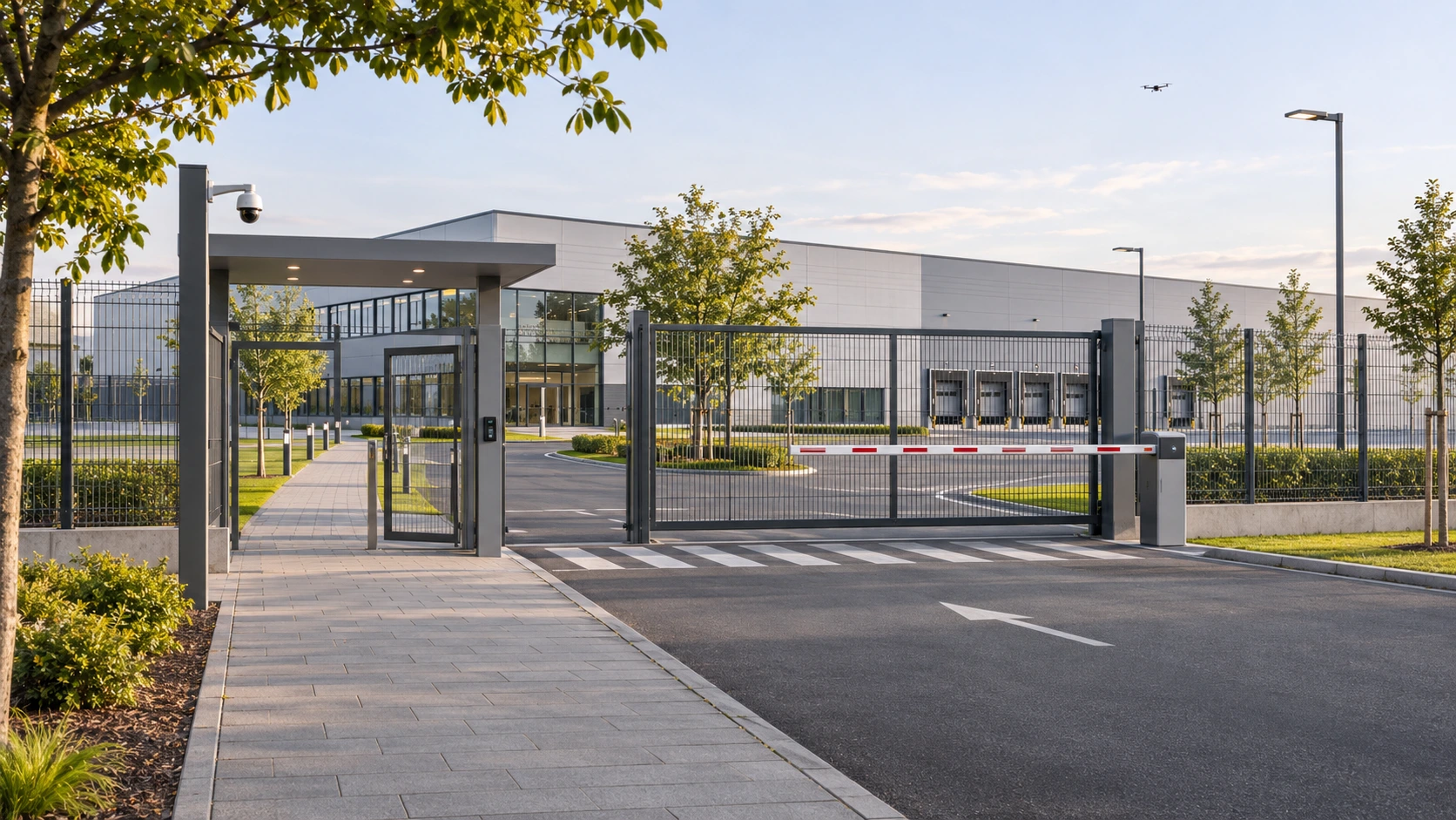
Study authorised civilian monitoring, privacy, evidence custody and accountable information handling.
View course →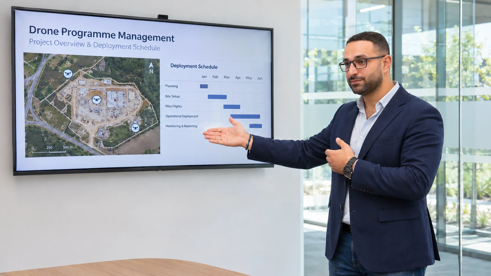
Build an operating model that connects drone capability, safety, people, governance and measurable organisational value.
View course →