
Specialist Training
Explore a specialist application, from mapping and inspection to analytics and civilian response. Choose a course for your objective and review its entry requirements.
Sign in / Request access →Follow the courses at your own pace. Track your progress as you go.
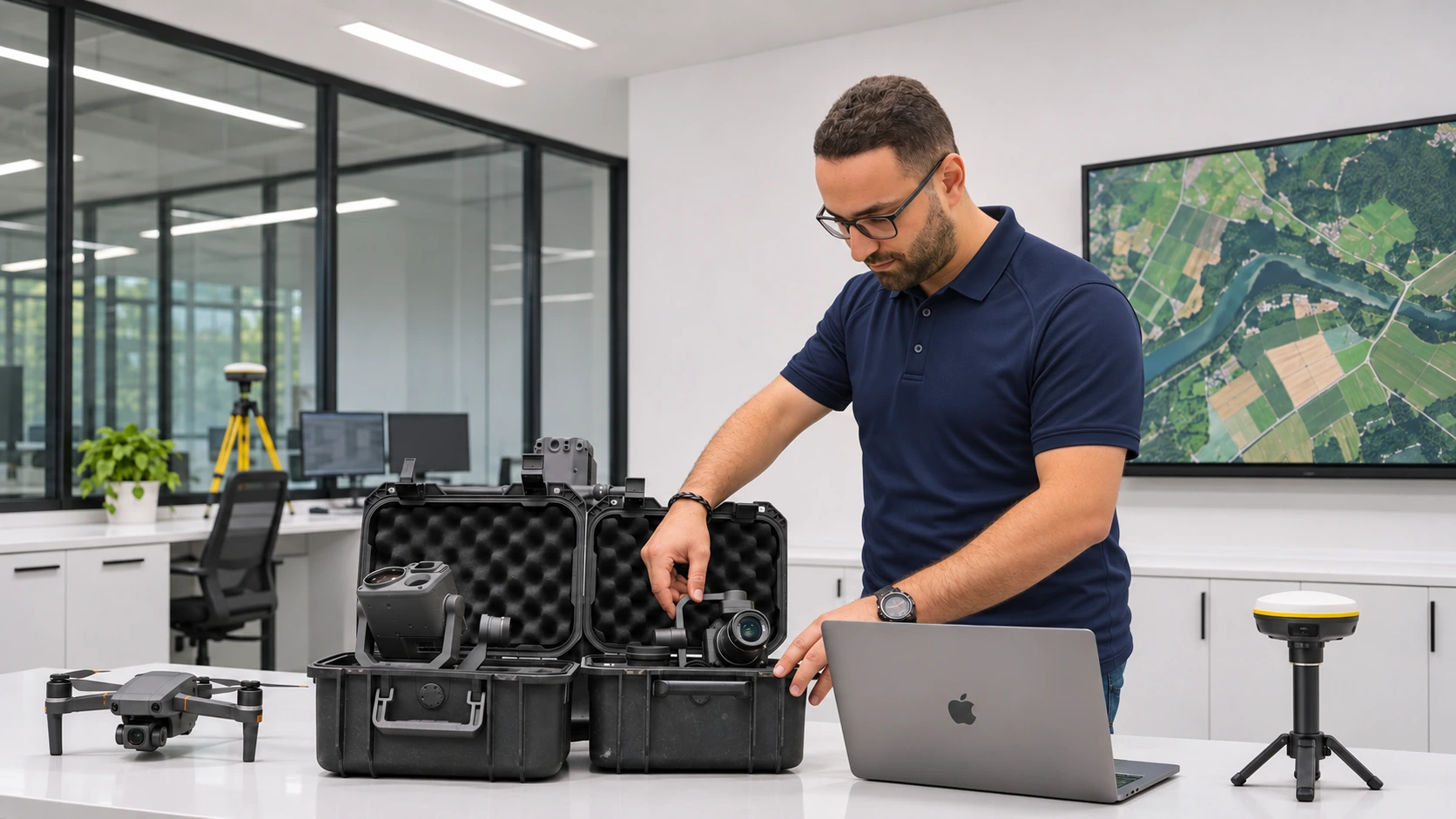
Your learning path
Each course is a step towards completing the Program.
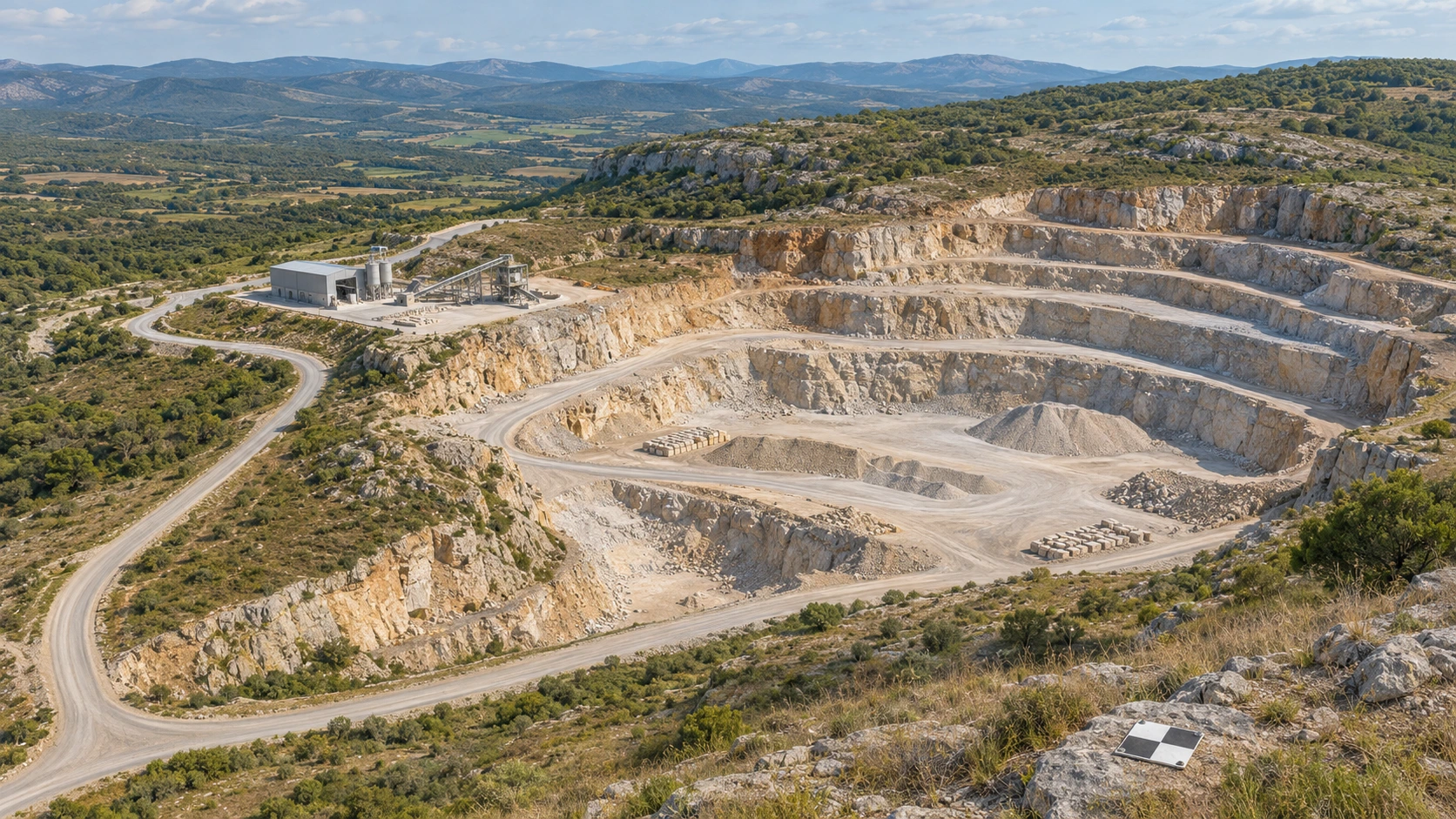
Drone Photogrammetry & LiDAR Mapping
Understand survey references, photogrammetry, LiDAR, capture planning and independent validation of geospatial deliverables.
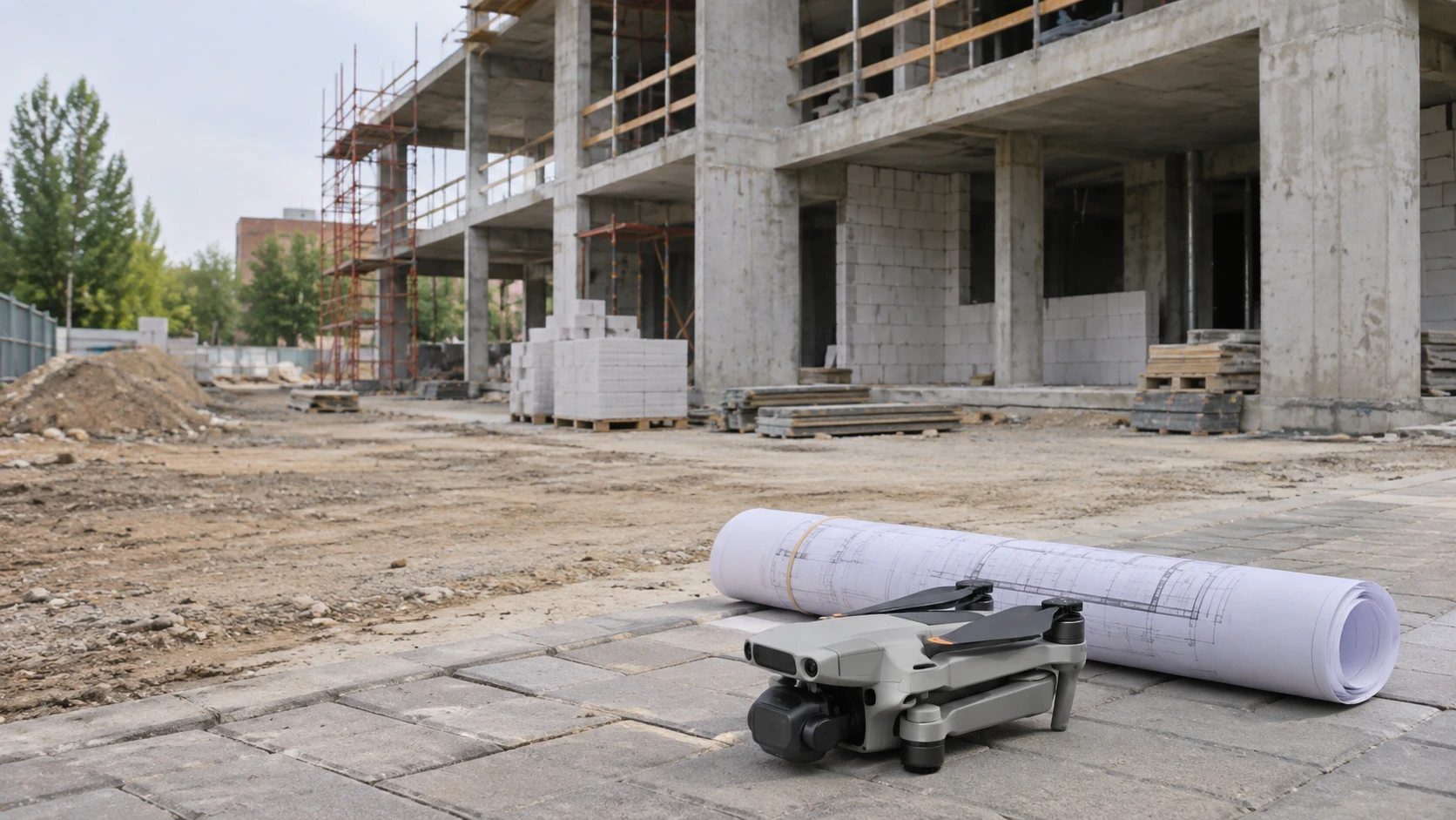
Construction Monitoring & BIM Integration
Connect repeat site evidence, quantities, design comparison and governed information handover.
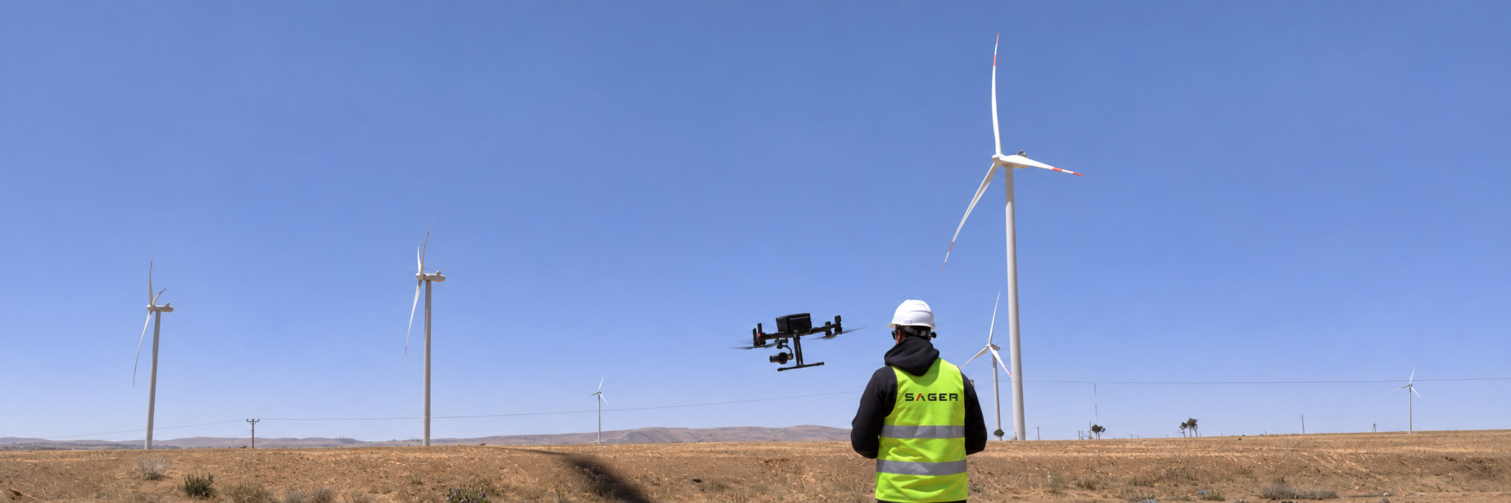
Industrial Inspection Professional
Turn a defined inspection scope into traceable observations, careful defect reporting and useful asset evidence.
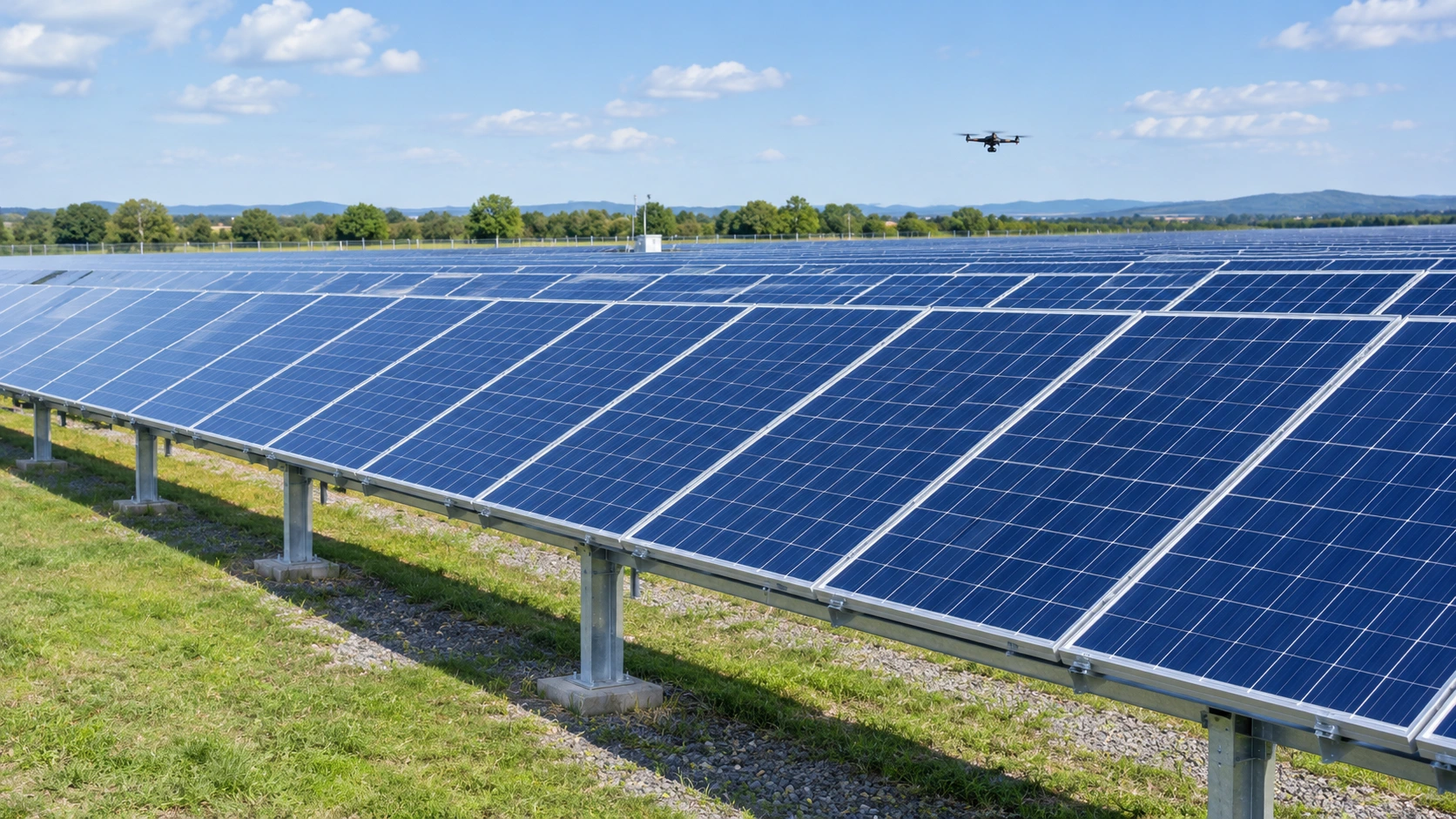
Thermal Imaging & Infrared Inspection
Understand thermal measurement, survey conditions, interpretation limits and defensible reporting.
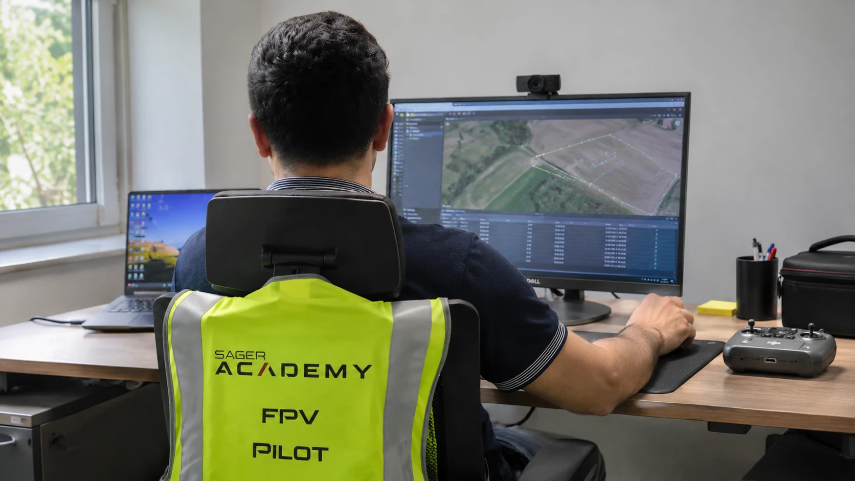
Drone Data Analytics & AI Tools Mastery
Follow drone data from ingestion and processing through reviewed analytics, decision support and responsible information handling.
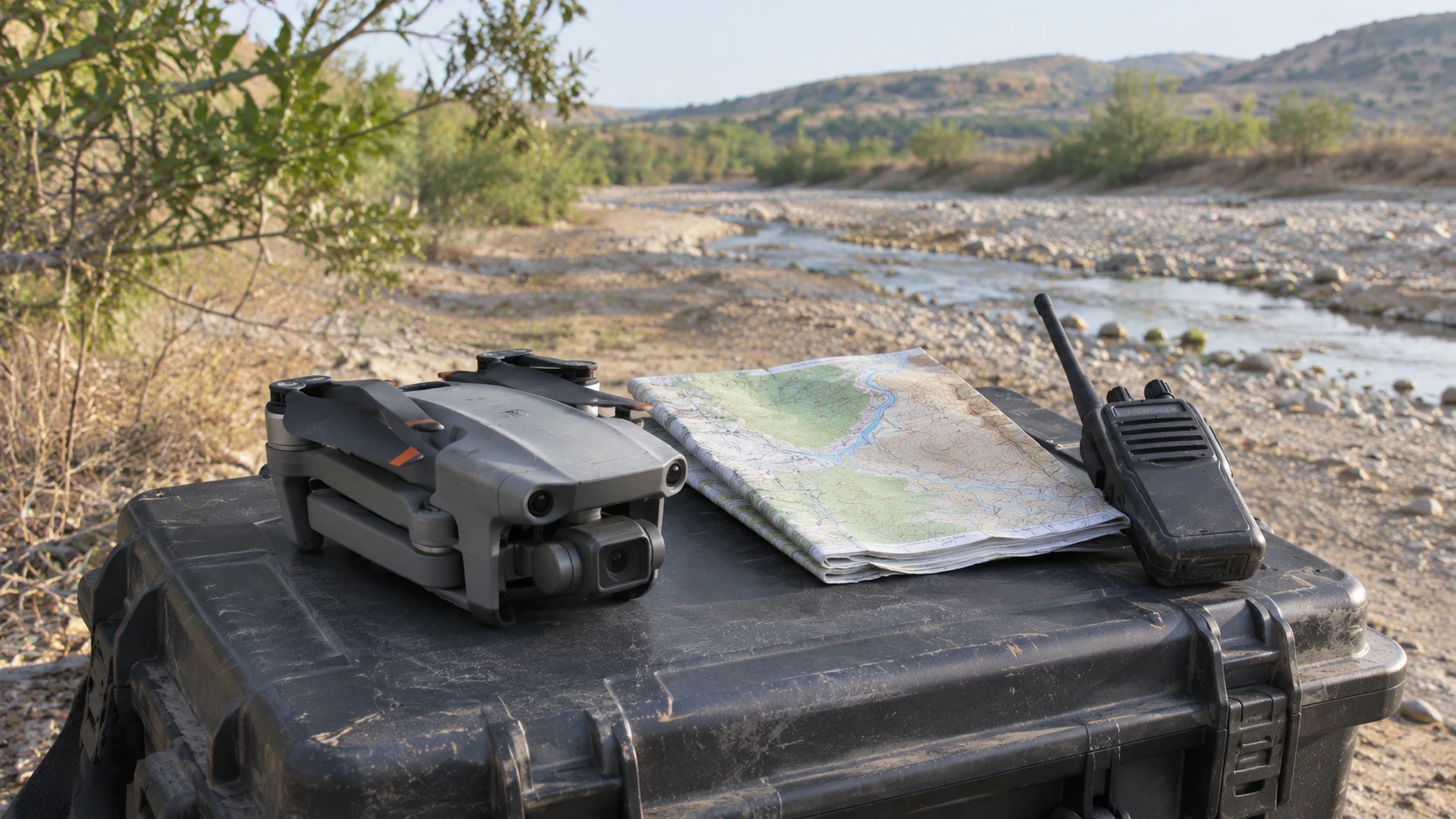
Emergency Response & Disaster Assessment
Understand aerial information as a coordinated, accountable contribution to civilian incident response.
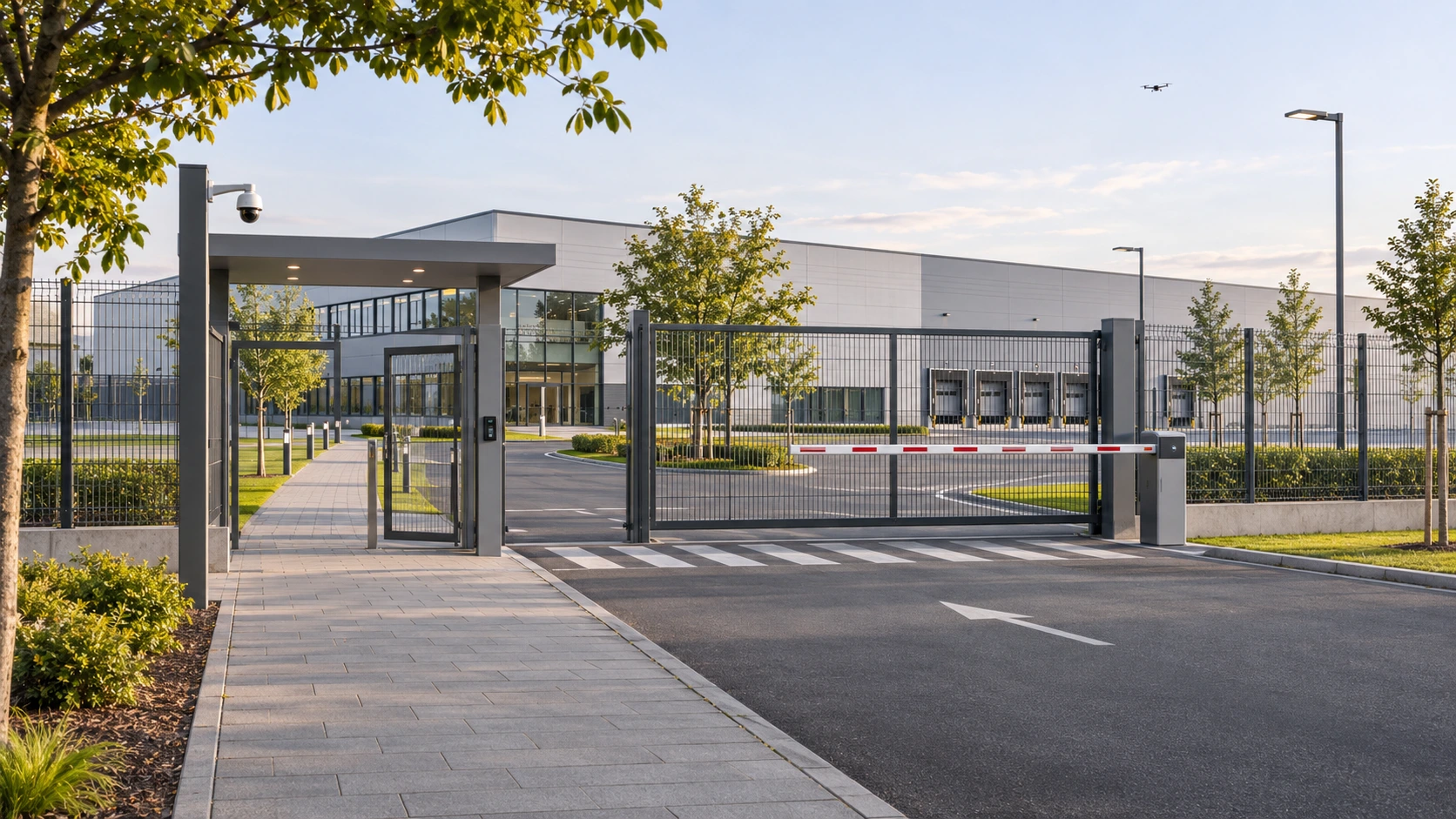
Security & Surveillance Drone Operations
Study authorised civilian monitoring, privacy, evidence custody and accountable information handling.